Posted inPlaces to Visit
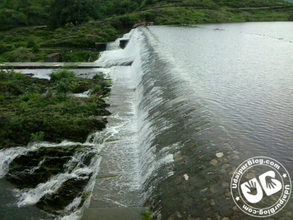
Famous Rivers In And Around Udaipur
The river is everywhere! – Hermann Hesse, Siddhartha Indeed, rivers are the most beautiful feature of nature created by God. They’re the most celebrated natural thing by poets as they…